
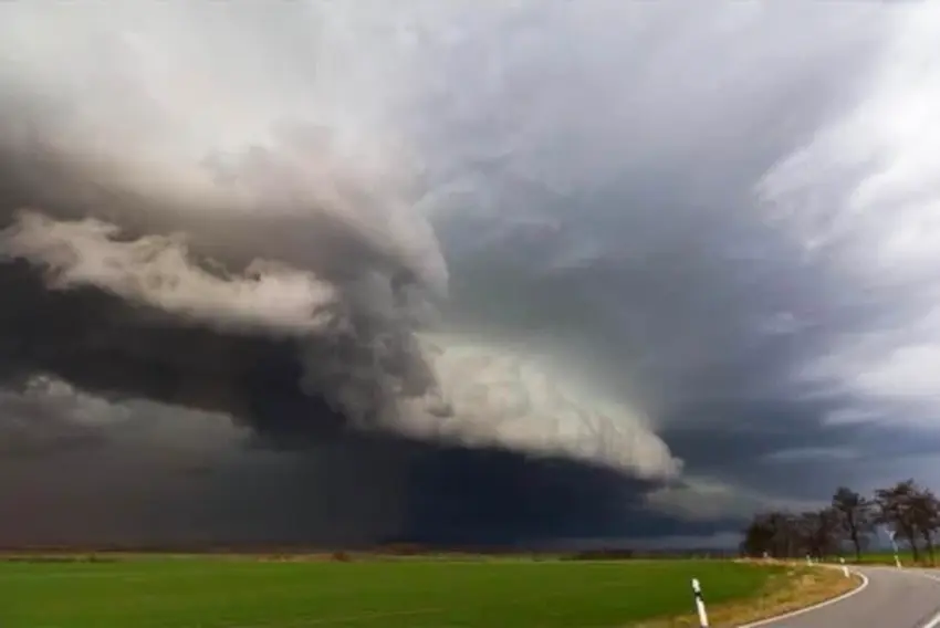
The National Weather Service (NWS) stated that Central Illinois may see some severe thunderstorm activity beginning late this morning into this afternoon. A heat advisory will also take effect at noon today and run until 8 PM this evening with heat indexes of up to 105 degrees.
According to the NWS, the highest threat is damaging winds, however the NWS also says that a couple of tornadoes cannot be ruled out. The NWS also stated that areas effected by the sever storms could potentially see wind gusts reach between 75 and 80 MPH.
The storms will be pushing from Iowa into Illinois moving east-south east at around 45 MPH. Though the highest risk is to the northern part of the state with a risk factor of 3 out of 5, Central Illinois still remains at a 2 out of 5 risk factor.
Pictured below are details provided by the National Weather Service in Lincoln, IL.


In the event of severe weather or should a tornado warning be issued for Christian, Sangamon, Macon, Shelby, or Montgomery Counties, get to a safe location, and if you have an AM/FM radio, tune your radio's dial to 96.1 WTIM, Your Only Local News Radio, for live coverage of the storms path. Get all your local news, weather, sports, and much more, at taylorvilledayilenews.com.