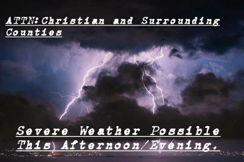
Residents across central Illinois, including Christian County and surrounding areas, should prepare for the possibility of severe weather Thursday afternoon and evening, according to the National Weather Service in Lincoln.
Forecasters say severe thunderstorms are expected to develop this afternoon and continue into the evening hours. The strongest storms could produce damaging wind gusts exceeding 70 miles per hour, large hail, and tornadoes. Heavy rainfall is also possible, which could lead to flash flooding in areas that have already received significant rainfall over the past several days.
In addition to the storm threat, heat index values are expected to approach 100 degrees Thursday afternoon, creating potentially dangerous conditions for those spending extended periods outdoors.
The National Weather Service is also monitoring ongoing river flooding along portions of the Spoon, La Moine, and Mackinaw Rivers, with additional flooding possible in some locations.
Looking ahead, another round of thunderstorms is expected Saturday night. While widespread severe weather is not currently anticipated, some storms may produce strong wind gusts.
Residents are encouraged to stay weather aware, monitor forecasts throughout the day, and have multiple ways to receive warnings should severe weather develop.
Keep up to date on breaking news and weather updates at taylorvilledailynews.com.